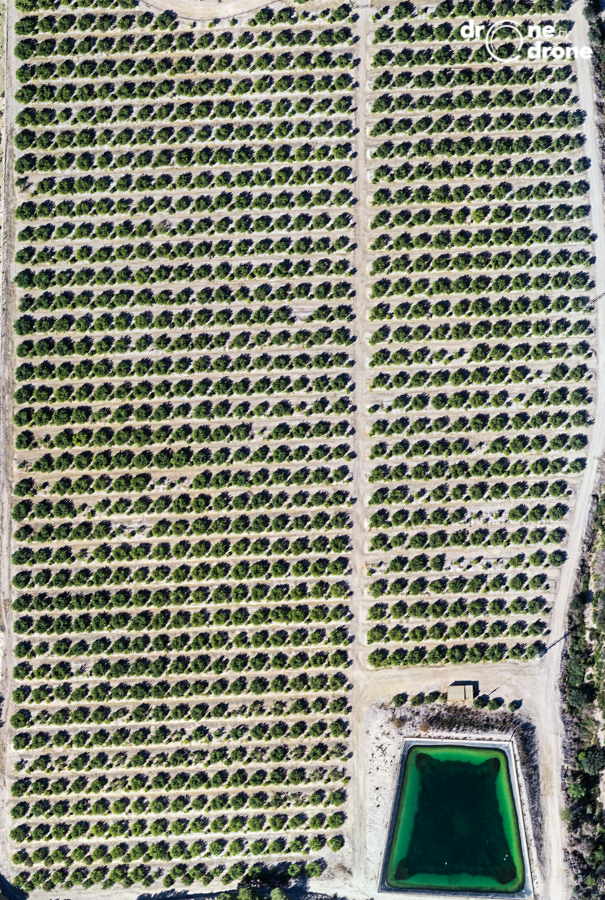

Drone by Drone is working in the citrus sector, taking advantage of the peak of the season in places like the Region of Murcia or the Valencian Community.
The use of drones in agriculture is spreading, providing numerous and valuable data for the farmer. Precision agriculture is increasingly catching up and drones are a fundamental tool in this new work methodology.
The analysis of RPAS multispectral images through powerful processing software and its treatment by field management programs, which include multiple agronomic variables, make the combined tool a powerful added value for the farmer's work, resulting in an improvement of agricultural yields and lower expenses on raw materials, benefiting the economy of the farmer and the environment.
The analysis of RGB or visible spectrum images should not be ruled out, which, by forming orthophotos or very precise mosaics, provide more information to the whole. To show an aerial image of a citrus plantation in the Spanish east.