
Drone by Drone has done this week precision agriculture work in southern Spain using drones.
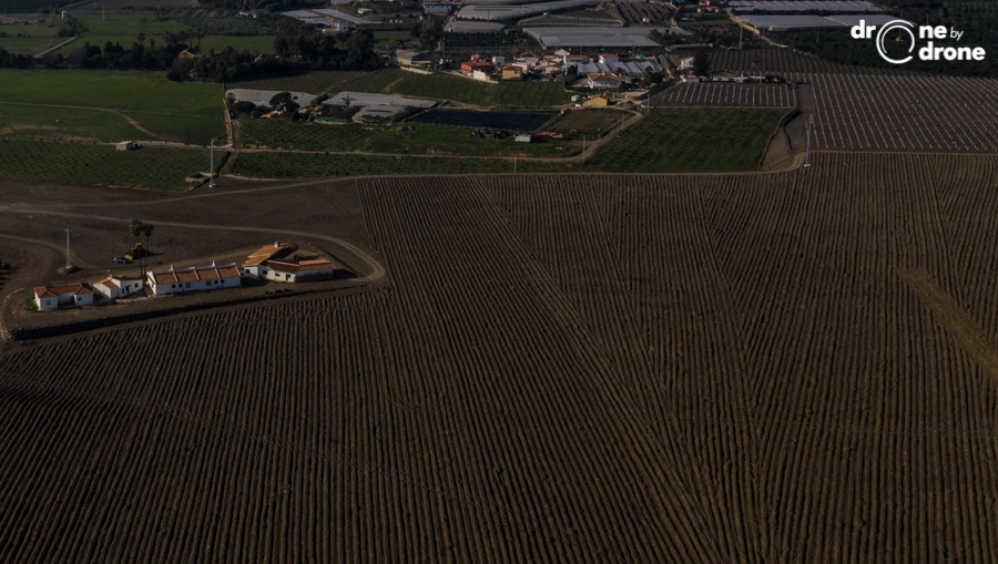
The drone operator is conducting a new winter flight campaign, as it did last year, on crops in the horticultural sector, in the Communities of Murcia and Andalusia.
The work by drones has required a maximum requirement on the part of the flight equipment of the operating company of Bilbao, since the aerial data obtained have been obtained with the maximum precision, for a detailed study of the variabilities in extensive plots. In this case they have flown with equipment equipped with multispectral cameras and RGB cameras simultaneously, using drones of the Inspire range, both the Inspire 1 and the Inspire 2.
Through our RPAS teams and the processing of the data in the form of reflectance maps of precious agronomic indices, it is possible to discriminate between zones to customize the agricultural treatment required in each case and thus save resources, both monetary and physical, ecological or environmental.