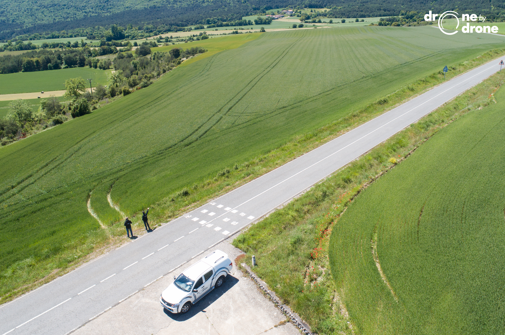

Drone by Drone is carrying out precision agriculture work using drones. With the arrival of good weather and taking advantage of the de-escalation and the greater ease of movement through the different territories, the RPAS pilots of Drone by Drone have taken advantage of delayed work, especially in cereal plantations.
Using multispectral cameras, the Bilbao RPAS operating company obtains valuable aerial data that is analyzed by field technicians to make recommendations on the corrective actions to be taken in the field.
Through our RPAS teams and the processing of data in the form of reflectance maps of precise agronomic indices, it is possible to discriminate between areas to personalize the agricultural treatment required in each case and thus save resources, both monetary and physical, ecological or environmental.
A pleasure to enjoy the countryside and the beautiful views!