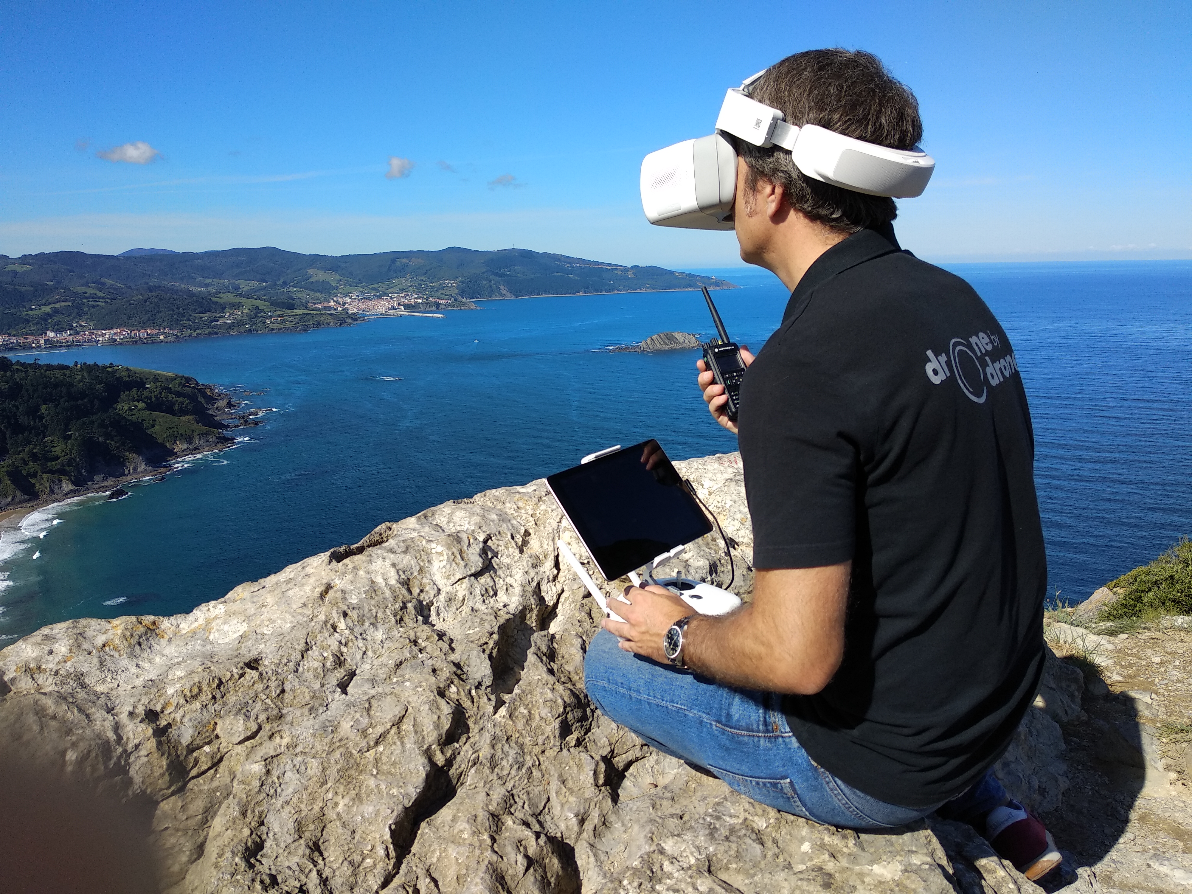
During the conduct of the specialized air operations carried out by Drone by Drone, on occasions we have had to share the airspace with other manned aircraft, in some cases because the manned aircraft themselves have been the subject of aerial recording by drones and in others by the situation of coinciding in space and time in a specific scenario. In these cases, coordination with them is essential for maintaining safety, and flight zones must be determined for each type of aircraft and radio contact must be maintained at all times, preferably by means of aeronautical band radio.
In such operations, precautions must be taken and the provisions of the initial breafing must be observed with the crews of the aircraft involved.
In addition, on some occasions when operations are carried out within the aerodrome or heliport security area according to the distances marked in RD1036 / 2017 (not to be confused with controlled airspace), these may require coordination by radio of aeronautical band, so it will be convenient to acquire a station, for example Icom, and familiarize ourselves with its management, both technical and applicable phraseology. For this, although it is not necessary, unless operations are carried out in controlled airspace, it is advisable to have a radio operator's certificate for RPAS or at least have completed such training.
For strategic coordination, ENAIRE has recently launched a new platform to request aerial work called PLANEA.
Initially launched for the processing of operations using drones or RPAS, ENAIRE Planea, available at Plane.enaire.es, has been created with the end user and all the activities in airspace in mind. It will centralize in a single point all the procedures with ENAIRE, putting at your disposal new functions that respond to your needs. Furthermore, ENAIRE Planea is integrated with other very important tools for planning and coordinating operations, such as ENAIRE Drones (drones.enaire.es) and Insignia (insignia.enaire.es) where layers of airspace, restricted areas, NOTAM aeronautical notices and other functionalities of interest to drone pilots, general aviation and airspace users.
Tools that little by little allow a greater integration and optimization of the procedures requesting procedures and coordination with the rest of the airspace users.


