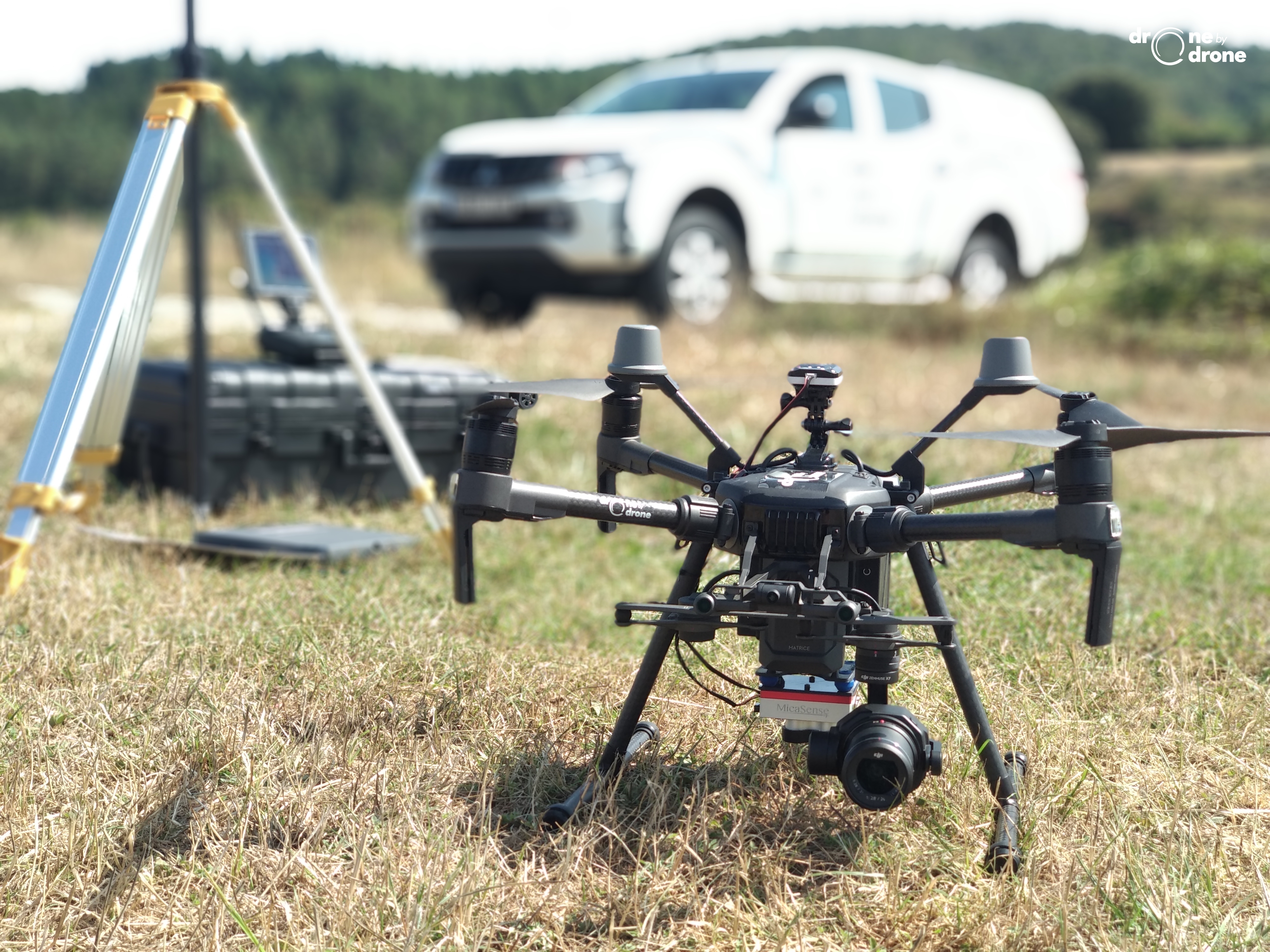

Drone by Drone offers RPAS surveying services with RTK precision UAS or drones. Through the drones of the Chinese manufacturer DJI, the Phantom 4 RTK and the Matrice 210 V2 RTK, both equipped with RTK or Real Time Kinetics technology, solutions are offered to carry out aerial photogrammetry work using drones with topographic precision.
The UAS operator company from Bilbao uses both models, both through the D-RTK 2 mobile station and without it, connecting to the NTRIP network. The system works perfectly, exchanging data in real time with the stations of the local GNSS reference network and allowing the sending of differential corrections through NTRIP protocols through its 4G accessory, allowing the storage of satellite information for use in PPK (Post-Processing).
The transmission of data between the different components of the system is carried out by means of the proven and powerful Occusync 2.0, guaranteeing precision at the level of any differential GPS and allowing high precision in the grounding points, which will positively influence the photogrammetric restoration.
In the different tests carried out, the results have been very positive, reaching reasonable accuracies of 2.5cm for flight heights of 80m with a GSD of less than 3cm. The corresponding checks have been carried out with quality control points on the ground, corroborating the data produced by the photogrammetric restitution programs.
By using drones with RTK technology, not only is the flight performed in a safer way, but the acquisition of aerial data, the photographs, are obtained with total precision. An important added value for aerial surveying work. However, it is always recommended to obtain several points on the ground to check the quality of the results and adapt the model to the local geoid with which you are working for each project.