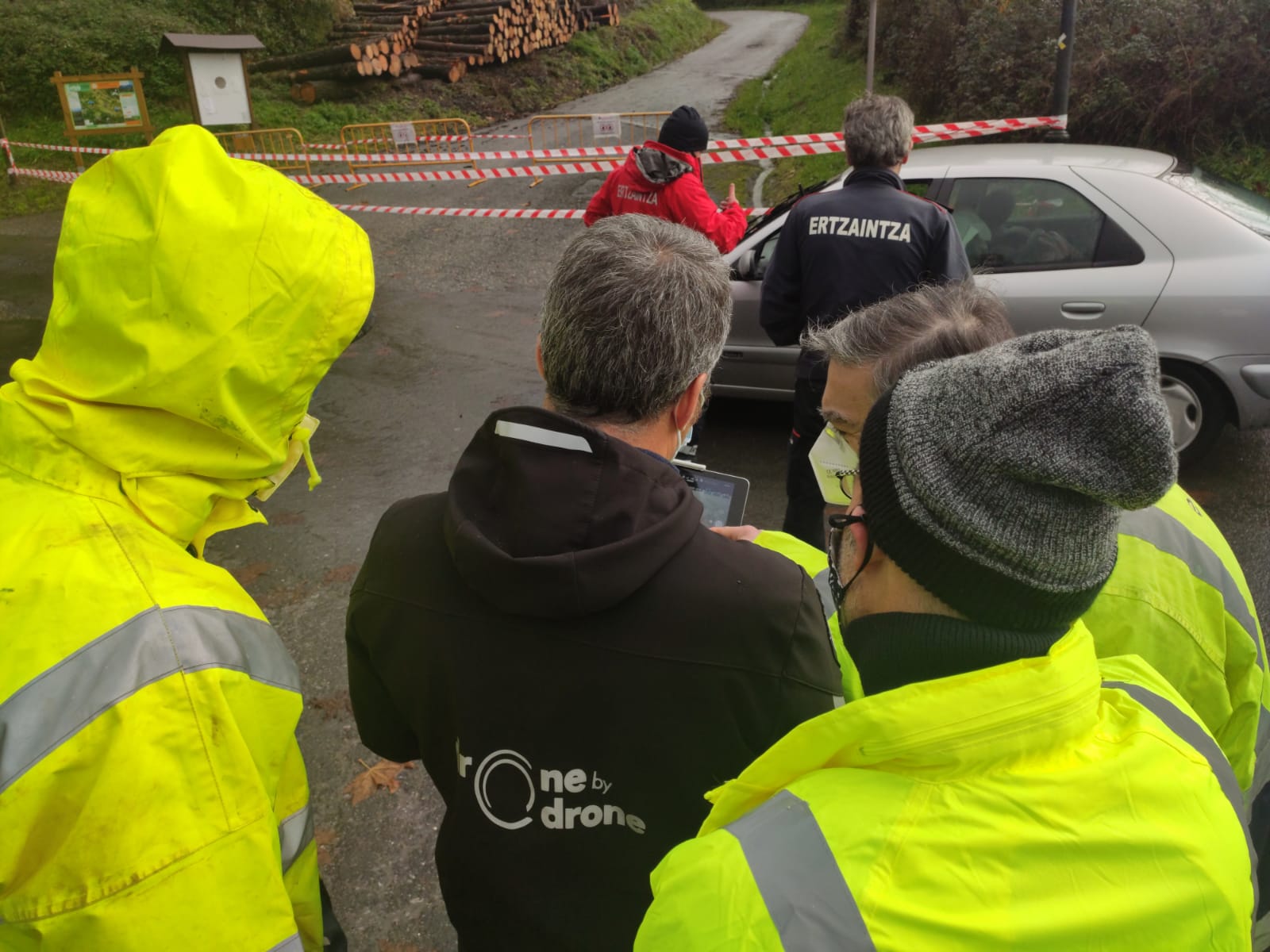

Drone by Drone has been conducting emergency flights using drones or UAS for the last week due to the heavy rains and the landslides and floods caused by these phenomena.
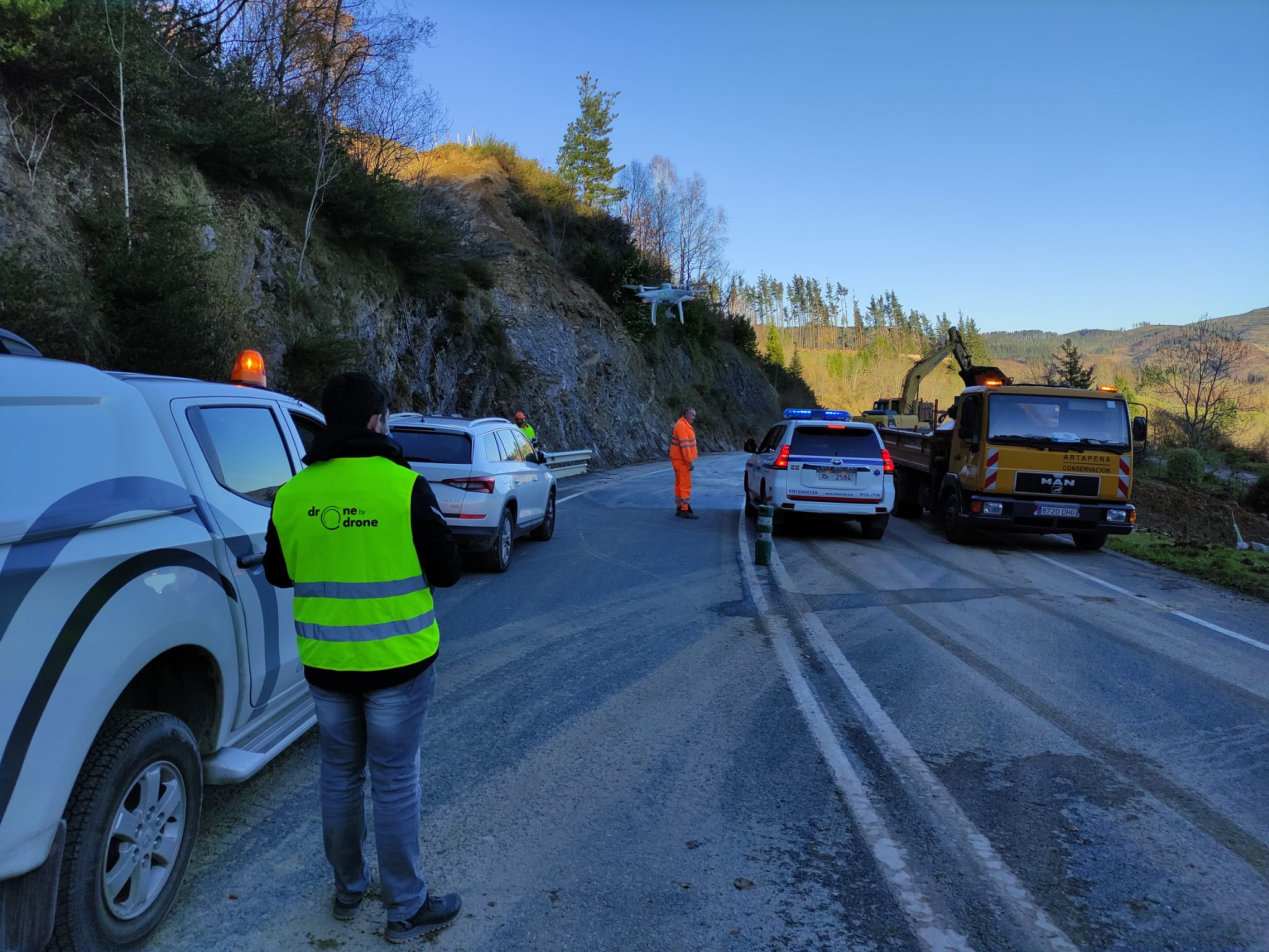
In a rainier end of autumn than expected, where some 400 l / m2 have been collected from many towns in Bizkaia in just two weeks, the drones have once again proved their worth, by being able to be used as tools for data acquisition during crisis management. Faced with such a volume of rainfall, attention has had to be focused on the riverbeds and the slopes of the mountains, to monitor the evolution of the avenues of water or floods.
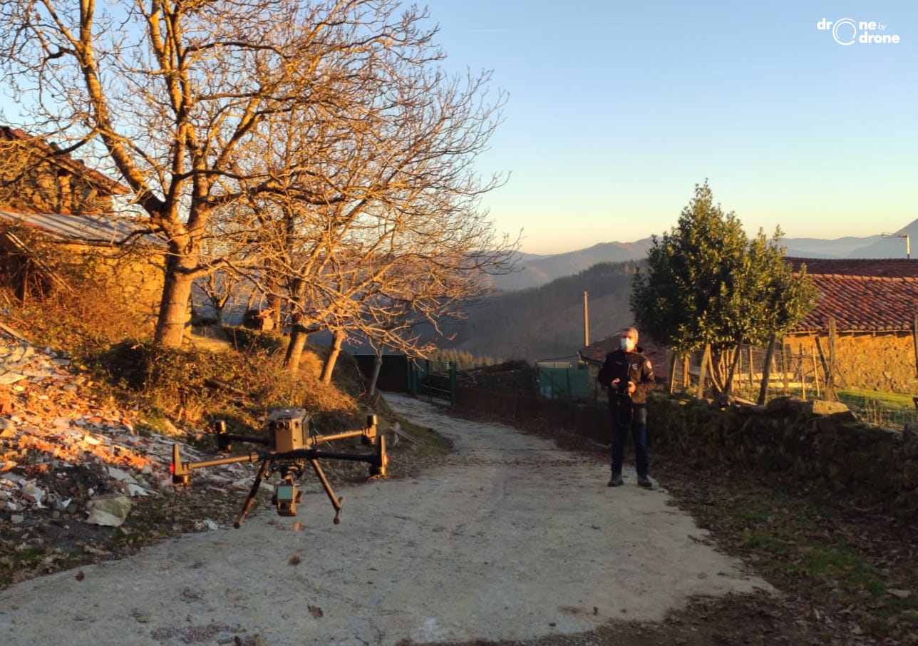
The rains have caused numerous landslides and slopes in areas close to homes or main infrastructure, and drones have been used to obtain data with topographic precision to assess the damage and design measures to support or adapt the land in damaged areas.
The UAS operating company in Bizkaia has been required to carry out multiple tasks, such as viewing river floods in Gipuzkoa or obtaining data to make digital land models using photogrammetry or LIDAR, as the case may be. .
Once again, UAS is shown to play an important role as a complement to traditional procedures and tools in crisis management due to adverse or violent weather events.