

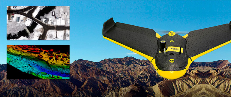
Among our drones, the eBee Sensefly, with an accuracy of down to 3 cm, can cover up to 12 sq. km in a single flight by taking properly overlapped aerial photos. These images can be transformed into orthophotos and orthomosaics (maps) and 3D elevation models with a relative accuracy of down to 3/5 cm.
In addition to the mapping applications, and thanks to its camera option, it can be used for video monitoring in difficult access sites. The synergy between the eBee Drone and the photographic restitution software Postflight Terra 3D, developed by the firm Pix4D, enables the complex process of obtaining images by generating a huge number of different format data based on photogrammetry techniques.
This software allows the georeferencing and creating of elevation digital models located in concrete areas, which is of great interest for applications directed at geographic information systems.
Drone by Drone performs topographical surveys by means of getting millions of waypoints in every flight performed by the eBee.
Orthophotography, Photogrammetry and 3D Land Modelling with Drones
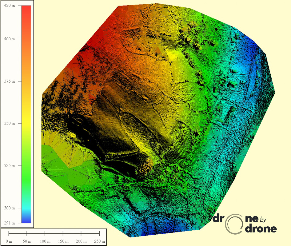
Digital surface model for archaeologycal survey
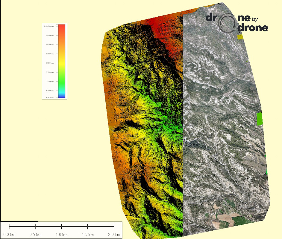
Elevation map for civil engineering railway project