
As we have been doing year after year, with the arrival of veraison, Drone by Drone has carried out drone flights over vineyards for precision agriculture work.
When the summer months arrive, the work of measuring parameters using drones on the wine sector intensifies, obtaining important data from the plots, when studying their variability or to be able to evaluate the treatments carried out on the different parts Of crops.
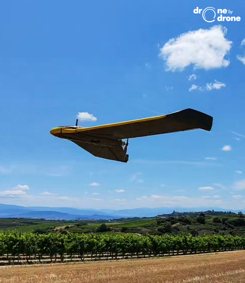
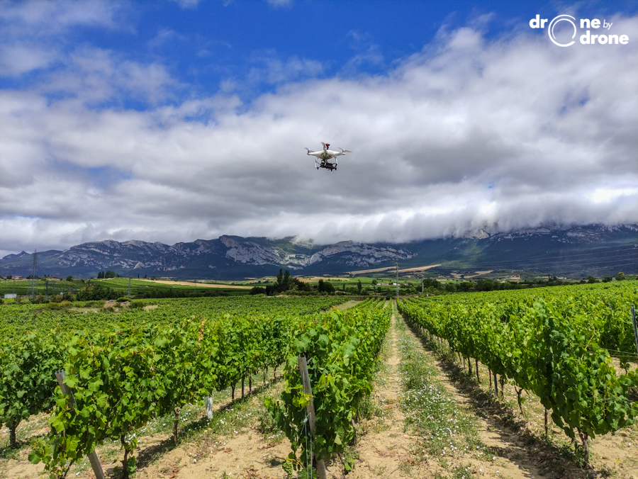
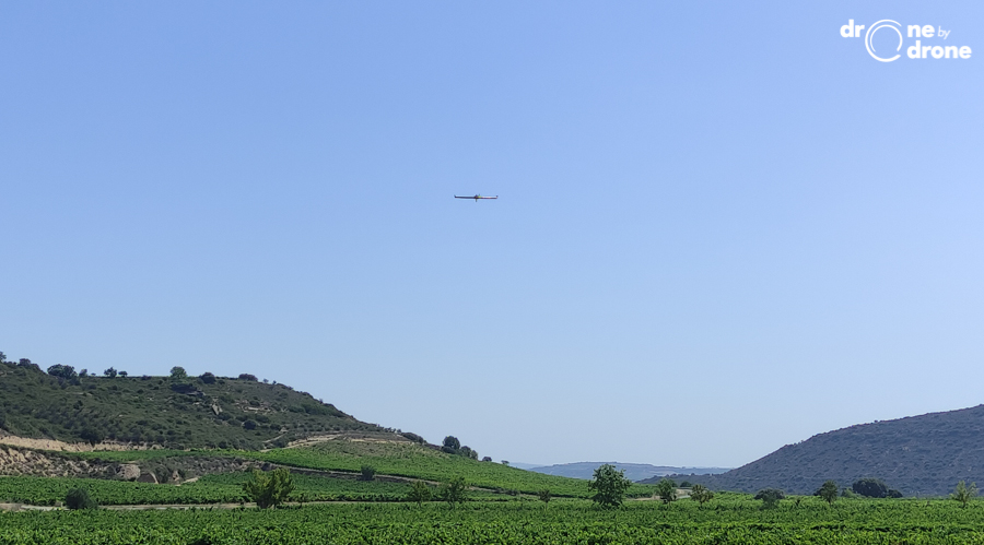
The work has been carried out using the Sensefly eBee Ag fixed-wing drone and DJI Phantom 4 multicopter equipped with visible spectrum (RGB) cameras to obtain precise orthophotos and multispectral cameras to obtain vigor maps by means of the index. NDVI (normalized difference vegetation index).
The vigor maps or reflectance maps of the NDVI index make it possible to analyze the chlorophyll performance of the leaves of the vineyards, thus determining their productive performance. This information is shown in the so-called reflectance maps by means of a scale from which the different productive zones of a plot and their differences can be seen.
Through the use of RGB cameras, it is possible to count the plants or the topographic measurement of the plots and the analysis of the unevenness, to evaluate runoff processes on the ground.
In addition to the technical complexity of the work, it should be noted that the controlled airspace or control zone (CTR) of La Rioja Airport (LERJ) has recently been expanded, which together with the presence of the restricted flight zone LER99, makes that it is legislatively more complicated to obtain flight permits.
The great variety of vineyards that we have in our nearby area, with Txakoli wineries and the great wineries of La Rioja, makes our precision agriculture work intensify during these dates.