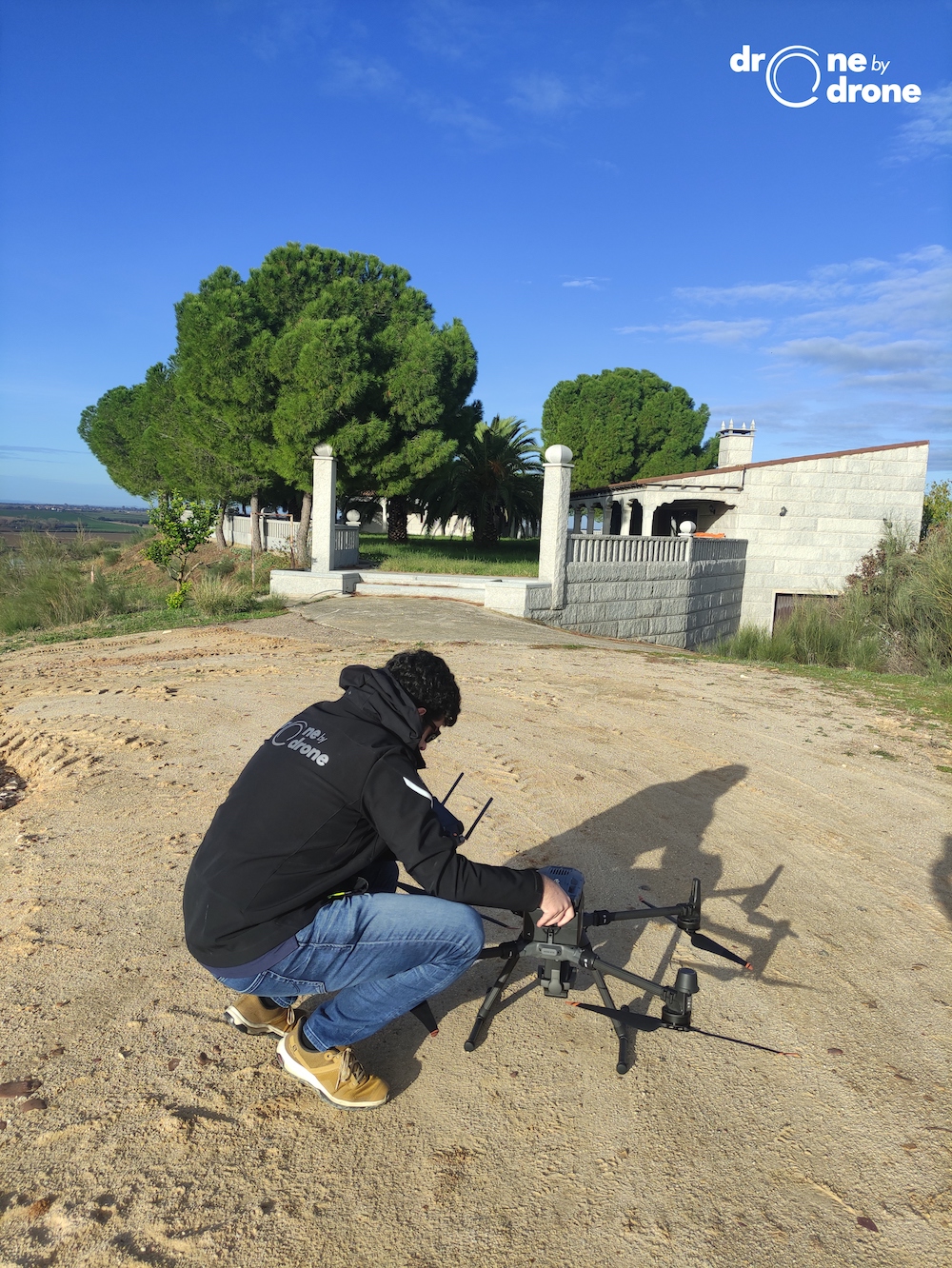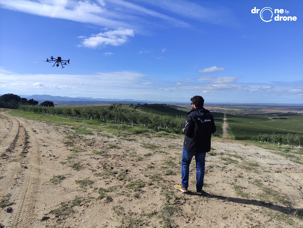

Drone by Drone carries out work using LIDAR mounted on drones, to obtain aerial data that allows us to generate precise and dense point clouds, even in the most extreme conditions.
The technique of using LIDAR, based on a laser emitting device, allows the environment or elements of interest to be digitized with great precision.
In a certain way, the LIDAR technique and photogrammetry give us similar results, materialized in the resulting point clouds in both cases. The use of each technique using drones has its pros and cons. LIDAR allows us to more faithfully capture the digital model of the terrain without vegetation, since it has greater penetration capacity than photogrammetry in forest masses or areas with vegetation and agricultural areas.
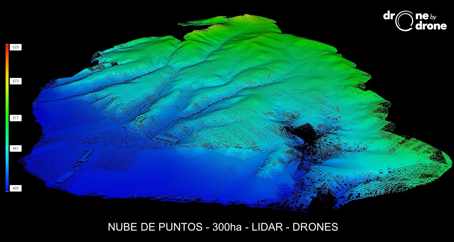
The attached image shows a cloud of points in color according to heights captured over an area of 300ha through several drone or UAS flights equipped with a Livox-type Lidar. Additionally, the point cloud could be generated in real color since along with the capture of laser data, RGB photographs are taken using a conventional camera, which allows color properties to be applied to each point acquired with the LIDAR.
The resulting product obtained is highly realistic, allowing valuable data to be obtained from the inspected terrain, as well as from forest masses or trees or cultivated areas.
Planning for this type of flight is done similarly to photogrammetry flights, and the drone's positioning accuracy is also based on RTK-corrected data.
It is therefore a precise and effective way to obtain data on the terrain and plant masses, with the ability to subsequently cube the inspected elements.